


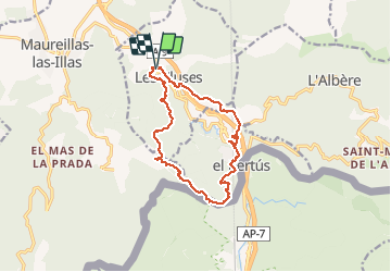

9.4 km | 12.8 km-effort


User


FREE GPS app for hiking
 SityTrail
IGN / Geographical institutes
SityTrail World
The world is yours!
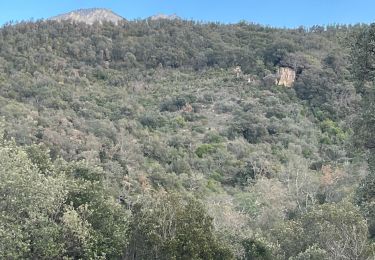
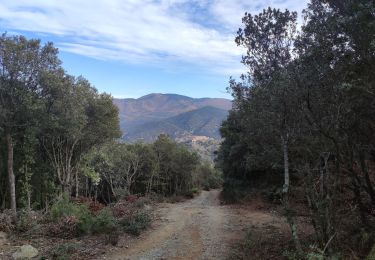
Trail Walking of 14.4 km to be discovered at Occitania, Pyrénées-Orientales, Les Cluses. This trail is proposed by jeff66.
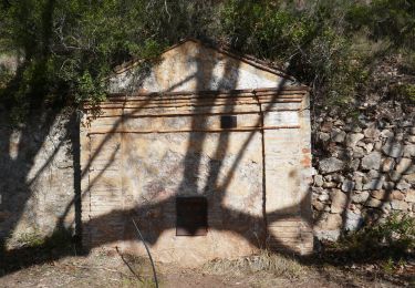
LES CLUSES - LE PERTHUS - fort de Bellegarde - col de Panissars - ruines romaines - Château des Maures

Walking

Walking

Walking

Walking

Walking
Walking

Walking
Walking
Walking